How to find old aerial photos of your house
Updated
Most US properties have been photographed from the air many times since the 1930s. The photos are mostly public, but they are spread across several archives, each with its own years, sharpness and quirks. Here are the four free routes, what each one is good for, and how much work it takes.
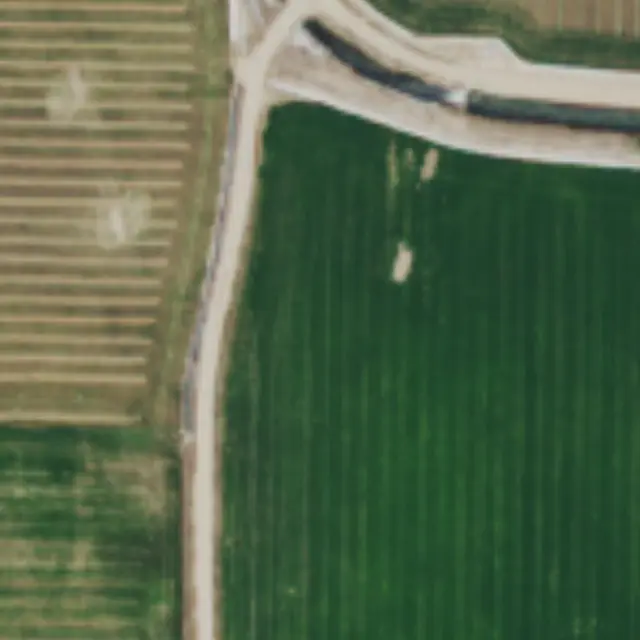 22 June 2017
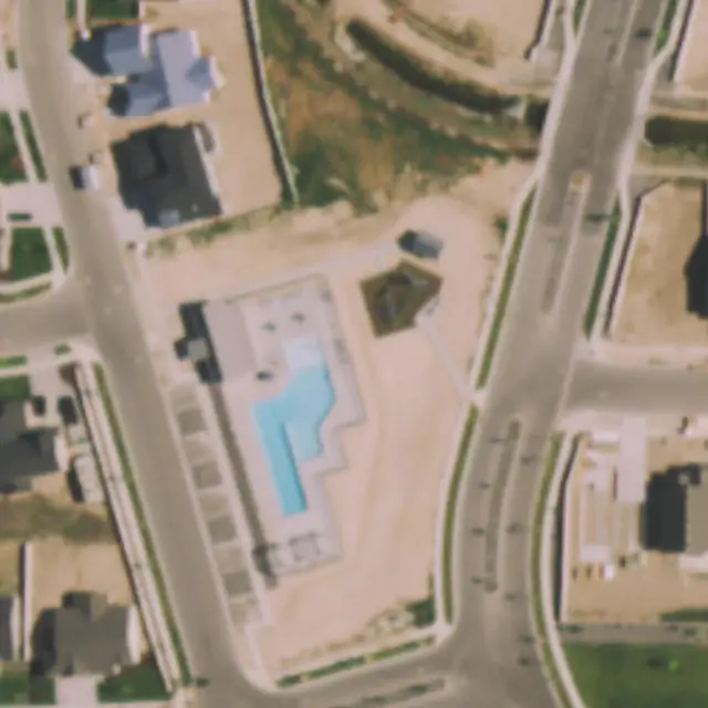 14 July 2019
Start with the question you need answered
Old aerial photos answer one kind of question well: was something there on a given date. A pool, a shed, an extension, a fence line, trees that were cleared. A photo does not tell you who built it or whether it had a permit, and it cannot narrow a change down further than the gap between two flights. Knowing roughly which years matter tells you which archive to open first.
1. Google Earth historical imagery
The quickest look. In Google Earth on the web, search for the address, make sure the base map is set to Satellite, and click the Historical imagery button in the toolbar. A timeline appears; step back through the years and each image shows its capture date.
- Covers: varies a lot by place. Many US cities go back to the 1990s, rural areas often less.
- Good for: a fast first answer from your phone or laptop.
- Limits: the dates and sharpness depend on what Google holds for that spot, and the images are not meant to be downloaded as a record.
2. USGS EarthExplorer
The federal archive. The U.S. Geological Survey holds millions of scanned aerial photo frames from 1937 to 2014, plus national programs such as the National High Altitude Photography (NHAP), the National Aerial Photography Program (NAPP) and Digital Orthophoto Quadrangles from 1987 to 2006.
- Open EarthExplorer and enter the address or click the spot on the map.
- Set a date range, then under Data Sets choose Aerial Imagery and tick the collections you want.
- Look through the results with the footprint and preview tools to find frames that cover your lot.
- Download the medium resolution scans. You may be asked to sign in with a free USGS account. Some high resolution film scans have to be ordered and are not free.
- Covers: the deepest history in one place, back to the 1930s in many areas.
- Limits: frames are raw photos, not cropped to your property or lined up with each other. Expect an hour or more to find and compare the right ones.
3. Your state and county archives
Many states, counties and university map libraries run their own aerial photo viewers, often with older or sharper photos than the national archives. They are what fills most of the first page of a search for historical aerial photos, because each one covers its own area well.
- How to find them: search for your state name or county name plus "historical aerial photos" or "GIS aerial imagery".
- Good for: years before 2004 and local detail.
- Limits: every viewer works differently, and coverage stops at the state or county line.
4. Historic Aerials
Historic Aerials, run by NETR Online, lets you browse historic and current aerial photos by address in a free online viewer, with photos from the 1930s onward in many areas. Free viewing carries a watermark; clean downloads are paid.
- Good for: browsing several decades in one viewer.
- Limits: the years available depend on the area, and a clean copy costs extra.
The routes side by side
| Route | How far back | Cost | Effort | Best for |
|---|---|---|---|---|
| Google Earth | Varies, often the 1990s | Free | Minutes | A quick first look |
| USGS EarthExplorer | 1937 onward | Free; some scans paid | An hour or more | Deep history |
| State and county archives | Varies by area | Usually free | Depends on the viewer | Local and older detail |
| Historic Aerials | 1930s onward in many areas | Free to view; downloads paid | Minutes | Browsing many decades |
| Property From Above report | About 2004 onward | $39 once | Five minutes | Dated photos of one lot, lined up |
Where the USDA photos fit
Since about 2004 the U.S. Department of Agriculture has flown the lower 48 states every one to three years for the National Agriculture Imagery Program (NAIP). The photos are public domain, taken in the growing season, at 1 m per pixel in the early years and 60 cm or sharper more recently: enough to see houses, driveways, pools, sheds and fences. Most addresses have 7 to 16 of them. They are the most regular record of the last two decades, but finding every flight over one address and lining the years up is slow by hand.
When a paid report saves time
If the change you care about happened after about 2004, our report does the lining up for you: every USDA photo of a 150 m square around the address, in date order, each with its flight date where USDA publishes it and a plain note on what changed since the photo before. The free check on the home page shows exactly which years exist for your address before you pay. For anything before 2004, use EarthExplorer or your state archive.